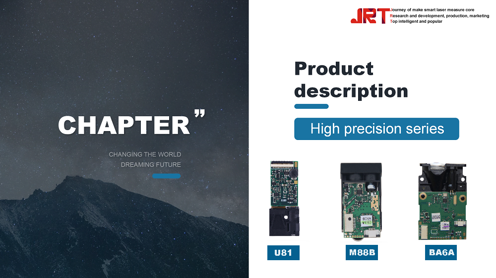
The JRT 10000Hz 200m Long Range Radar Sensor LiDAR represents a cutting-edge advancement in the realm of UAV technology, offering unparalleled precision and efficiency for a variety of applications. As the demand for high-resolution mapping, real-time data acquisition, and enhanced object detection continues to rise, this innovative sensor stands out for its exceptional capabilities. With a remarkable scanning frequency and a robust measurement range, the JRT LiDAR system is poised to revolutionize industries such as agriculture, environmental monitoring, and urban planning. This article will explore the key features, advantages, and applications of the JRT 10000Hz LiDAR, as well as its integration within UAV systems and future trends in LiDAR technology.
Overview of JRT 10000Hz 200m Long Range Radar Sensor LiDAR
Introduction to the Technology
The JRT 10000Hz 200m Long Range Radar Sensor LiDAR is a tech marvel that combines radar and LiDAR technology to offer precise distance measurement while maintaining high efficiency. Imagine a superpower that lets drones see in 3D, navigate tricky terrains, and avoid obstacles—all from high above. With a scanning frequency of 10,000 Hz, it's like giving your UAV a focused set of eyes that never miss a beat.
Historical Context of LiDAR Development
LiDAR, which stands for Light Detection and Ranging, has been around for a while, but it’s evolved from the 1960s science project stage to a must-have tool in modern technology. Early systems were bulky and complex, but with advancements in laser technology and data processing algorithms, modern LiDAR systems like the JRT have become lightweight and user-friendly. The transition from cumbersome devices to sleek sensors illustrates how we went from “what is this wizardry?” to “where’s my drone?” in just a few decades.
Key Features and Specifications
Measurement Range and Accuracy
The JRT 10000Hz sensor boasts an impressive measurement range of up to 200 meters, making it perfect for a variety of UAV missions—whether you're mapping a sprawling landscape or inspecting power lines. Its accuracy is nothing to sneeze at either, with precision that can reach millimeters. That’s right; no more guesswork. It’s like having a ruler in the sky!
Scanning Frequency and Data Output
With a scanning frequency of 10,000 Hz, this sensor drinks data faster than a teenager polishing off a bag of chips. This means that for every second, it produces a wealth of information—up to 10,000 measurements—allowing for real-time mapping and analysis. The result? Smooth, continuous data output that keeps your UAV flying high and informed.
Durability and Environmental Resistance
Who wants a sensor that can’t handle the elements? The JRT 10000Hz is built to endure harsh conditions, whether it’s rain, fog, or the occasional UFO sighting. Its rugged design ensures reliability in various environments, so you can send your UAV into battle without worrying if the sensor’s going to throw a tantrum.

Advantages of Using LiDAR for UAV Applications
High Precision Mapping
LiDAR technology is famous for its ability to create incredibly detailed 3D maps with astounding precision. When you utilize the JRT sensor for your UAV, you get accuracy that’s unmatched by traditional methods. It’s like having a cartographer on your crew, minus the ink stains and coffee breath.
Enhanced Object Detection
Thanks to the high-resolution data provided by the JRT sensor, UAVs can detect objects with startling clarity. Whether it’s surveying a construction site, avoiding trees, or tracking wildlife, this LiDAR system helps UAVs identify obstacles and navigate safely, ensuring no unexpected encounters with Mother Nature.
Real-Time Data Processing
The magic of the JRT 10000Hz sensor lies in its ability to process data in real time. This capability means that UAVs can adapt to changing conditions or immediate obstacles as they fly, making operations smoother and much more efficient. Think of it as having a radar that’s always a step ahead—a valuable asset for any mission.
Comparison with Traditional Radar and Sensor Technologies
Performance Metrics Comparison
When you line up the JRT 10000Hz against traditional radar and sensors, the differences become pretty clear. LiDAR excels in spatial resolution and data richness, delivering detailed 3D mapping that other technologies struggle to match. This performance boost helps overcome the limitations of radar, which can sometimes find it tricky to distinguish between objects.
Cost Analysis
While the upfront cost of LiDAR systems may give you pause, consider this: the long-term savings from enhanced efficiency and the avoidance of costly mistakes can far outweigh initial investments. Traditional sensors may seem cheaper at first glance, but the quality and accuracy of data provided by the JRT LiDAR can save you money down the line. It’s like choosing between a fancy dinner and a lifetime supply of pizza—sure, one is pricier, but the other is highly questionable.
Use Cases: LiDAR vs. Traditional Sensors
In practice, the advantages of the JRT sensor shine through in a variety of applications. For aerial mapping, disaster management, and infrastructure monitoring, LiDAR provides not just data, but actionable insights that drive decision-making. Traditional sensors, while still useful for certain applications like basic surveillance, often fall short in complex environments where precision is paramount. In the battle of sensors, LiDAR is the knight in shiny armor!
Applications of JRT 10000Hz LiDAR in UAVs
Agricultural Monitoring
The JRT 10000Hz LiDAR sensor is a game-changer for the agricultural sector. With its long-range capability, farmers can efficiently monitor crop health, assess soil conditions, and optimize irrigation strategies. By delivering precise topographical data, this technology helps in identifying areas of water stress or nutrient deficiency, leading to improved yield and less waste of resources.

Environmental Surveys
For environmentalists and ecologists, the JRT LiDAR opens doors to advanced surveying techniques. It allows for detailed mapping of forests, wetlands, and wildlife habitats, enabling professionals to monitor changes in ecosystems over time. By providing accurate 3D representations of terrain, it's easier to assess the impacts of climate change, deforestation, and urban encroachment, ensuring we can protect these precious resources.
Urban Planning and Infrastructure Management
Urban planners are embracing the JRT 10000Hz LiDAR for its ability to capture high-resolution data in complex environments. Whether it’s planning new roads, assessing building heights, or creating 3D city models, the sensor provides critical insights that help in making informed decisions. Moreover, it can aid in infrastructure maintenance by identifying areas that require attention, ensuring that cities can grow sustainably and efficiently.
Integration and Compatibility with UAV Systems
Installation Considerations
When integrating the JRT 10000Hz LiDAR into UAV systems, it's crucial to consider the weight and balance of the drone. The sensor needs to be securely mounted, ideally in a location that minimizes interference with other onboard equipment. Proper power supply is also essential, as this high-frequency sensor demands reliable energy to function optimally during flights.
Software Compatibility
Finding the right software is key to unlocking the full potential of the JRT LiDAR. Thankfully, many UAV platforms support open-source and commercial options that can seamlessly process LiDAR data. Users should look for software that not only handles spatial data efficiently but also offers user-friendly features for visualization and analysis. Compatibility means less time troubleshooting and more time flying!
Case Studies of Successful Integrations
Real-world examples illustrate the successful integration of the JRT 10000Hz LiDAR in various UAV applications. For instance, a company focusing on precision agriculture used the sensor to map large agricultural fields, leading to a 20% increase in crop yields over several seasons. Another case involved an urban planning department that utilized the sensor to efficiently map a new city layout, significantly reducing planning time and costs. These case studies highlight the tangible benefits of incorporating LiDAR technology into UAV operations.
Future Trends in LiDAR Technology for Drones
Advancements in Sensor Technology
The future of LiDAR technology is looking brighter than a freshly polished sensor lens. We're seeing advancements like miniaturization, which means lighter and more compact sensors without sacrificing performance. Enhanced scanning capabilities and improved data processing speeds are also on the horizon, enabling drones to capture even more detailed information in less time, like trying to capture a family photo where nobody blinks!
Potential Market Growth
The UAV and LiDAR market is gearing up for significant growth. With industries increasingly recognizing the benefits of aerial data collection, forecasts predict exponential increases in sales and integration across various sectors. As more affordable and versatile options flood the market, don’t be surprised if you see your local café offering rooftop drone surveys with LiDAR data for their new rooftop garden.
Emerging Applications and Innovations
As we peer into our crystal ball, emerging applications for LiDAR in UAVs are popping up like popcorn at a movie theater. Beyond agriculture and urban planning, we’re looking at uses in disaster management, where drones equipped with LiDAR could assess damage in real time after natural disasters. Innovations in real-time data processing and machine learning integration will enable drones to make decisions on the fly—literally!
Conclusion and Final Thoughts on JRT 10000Hz LiDAR
Summary of Key Points
The JRT 10000Hz LiDAR sensor offers impressive capabilities for UAV applications across various industries. From enhancing agricultural efficiency and ecological surveys to aiding in urban development, it’s clear that this technology is paving the way for smarter decision-making and improved outcomes. Plus, its compatibility with UAV systems ensures seamless integration for users eager to elevate their aerial missions.
Final Recommendations for Users
If you're considering bringing the JRT 10000Hz LiDAR into your UAV setup, my advice is simple: do your homework! Assess your specific needs, ensure compatibility, and don’t hesitate to leverage the wealth of resources available from the community. With this sensor in your toolkit, you’ll not only stay ahead of the curve but also look pretty cool while doing it!In conclusion, the JRT 10000Hz 200m Long Range Radar Sensor LiDAR offers an impressive array of features that significantly enhance UAV capabilities across various sectors. Its high precision, real-time data processing, and versatility make it an invaluable tool for professionals seeking to optimize their operations. As LiDAR technology continues to evolve, the JRT LiDAR system is well-positioned to lead the way in advancing drone applications, making it a wise investment for anyone looking to leverage cutting-edge technology in their field.
Frequently Asked Questions
1. What is the maximum range of the JRT 10000Hz LiDAR sensor?
The JRT 10000Hz LiDAR sensor has a maximum range of 200 meters, providing accurate measurements at various distances.
2. How does the JRT LiDAR compare to traditional radar systems?
The JRT LiDAR offers higher precision and resolution compared to traditional radar systems, making it more effective for detailed mapping and object detection.
3. Can the JRT 10000Hz LiDAR be integrated with all UAV models?
While the JRT LiDAR is designed for compatibility with many UAV systems, specific integration may vary based on the UAV model and its software capabilities. It's advisable to check compatibility before installation.
4. What industries can benefit from using the JRT 10000Hz LiDAR sensor?
Industries such as agriculture, environmental monitoring, construction, and urban planning can greatly benefit from the advanced capabilities of the JRT 10000Hz LiDAR sensor.
Chengdu JRT Main Ranging Modules: Industrial Laser Distance Sensors, Outdoor Rangefinder Laser Module, Tof LiDAR Sensors, New Arrivals Laser Rangefinder Module.