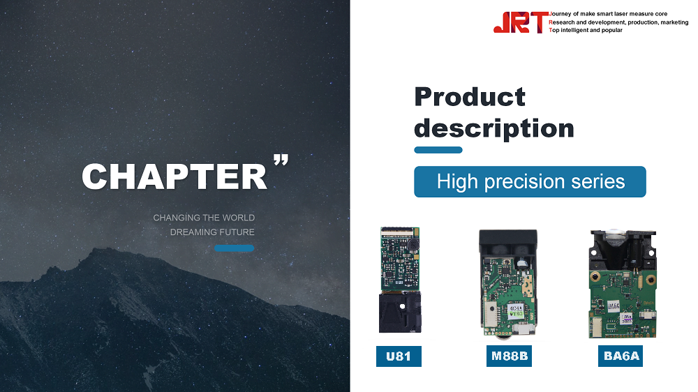
The JRT 1200m LiDAR System, equipped with a 905nm outdoor sensor, is revolutionizing the way unmanned aerial vehicles (UAVs) capture and process data in various industries. As the demand for accurate and efficient mapping solutions continues to grow, this advanced LiDAR technology offers unparalleled precision, versatility, and range, making it an ideal choice for applications like agriculture, construction, and environmental monitoring. In this article, we will explore the key features and advantages of the JRT 1200m LiDAR System, compare it with other systems on the market, and discuss its integration with UAVs, all while highlighting the future trends that are shaping the landscape of drone-based LiDAR technology.
Overview of the JRT 1200m LiDAR System
The JRT 1200m LiDAR System is a high-performance sensor designed to elevate UAV capabilities in outdoor environments. With its advanced technology, it promises to deliver accurate 3D mapping and rich data collection, all while being remarkably user-friendly. Just think of it as the overachiever of sensor systems, eager to map out the world in vivid detail.
What is LiDAR Technology?
LiDAR, or Light Detection and Ranging, is like a high-tech flashlight that measures distances by sending out laser beams and timing how long it takes for them to bounce back. This method creates precise, three-dimensional representations of the targeted area – perfect for mapping terrains, forests, and urban landscapes. It’s essentially radar’s more sophisticated sibling, using light instead of radio waves to get the job done.
Specifications of the JRT 1200m System
The JRT 1200m boasts an impressive range of specifications that include a maximum detection range of 1200 meters, an accuracy of ±2 cm, and the ability to acquire dense point clouds quickly. It’s lightweight, making it a breeze to mount on various UAV platforms, and equipped with a 905nm wavelength that optimizes performance in outdoor conditions. In short, it’s like the Swiss Army knife of LiDAR systems, packed with features that deliver results.

Key Features of the 905nm Outdoor Sensor
The 905nm Outdoor Sensor shines with its unique features that set it apart from the crowd. Think of it as the cool kid at school, armed with the latest gadgets and tricks.
Wavelength and Its Significance
The 905nm wavelength is crucial for effective outdoor applications, as it strikes a perfect balance between energy and atmospheric penetration. This wavelength ensures minimal interference from sunlight while maximizing the return signal from surfaces. Basically, it’s the Goldilocks of wavelengths—not too short, not too long, but just right for clear and reliable measurements.
Range and Precision Capabilities
With a detection range of up to 1200 meters, the JRT 1200m doesn’t play around when it comes to getting the lay of the land. Its precision capabilities allow for detailed point cloud generation, enabling users to capture intricate details of landscapes with incredible accuracy. When it comes to surveying, this sensor doesn’t miss a beat—it’s like having a laser rangefinder in your pocket, but way more sophisticated.
Environmental Adaptability
Whether you're mapping a sunny hillside or surveying a foggy cityscape, the JRT 1200m is designed to thrive in various environmental conditions. Its robust construction and advanced algorithms ensure reliable data collection, rain or shine. It’s like the outdoor enthusiast of sensors—always ready to tackle any weather while delivering top-notch performance.
Advantages of Using LiDAR Technology in UAV Applications
Adopting LiDAR technology for UAV applications is akin to upgrading from a flip phone to a smartphone—you’ll wonder how you ever managed without it.
High-Resolution Mapping
LiDAR technology provides exceptional detail in mapping, allowing for high-resolution models that showcase even the minutest variations in terrain. This level of granularity makes it invaluable for applications such as forestry management, urban planning, and environmental monitoring. It's like having a superpower that reveals hidden patterns in landscapes that the naked eye simply can't see.
Real-Time Data Collection
One of the standout benefits of LiDAR-equipped UAVs is their ability to collect data in real-time. This immediate feedback loop allows users to make quick decisions, adapt to changing conditions, and optimize their operations on the fly. It’s a game changer that elevates project efficiency and accuracy, saving both time and resources.
Improved Safety and Efficiency
Using LiDAR technology with UAVs not only enhances mapping capabilities but also boosts safety and operational efficiency. With aerial assessments, you can minimize risks associated with ground surveys in hazardous environments, while maximizing data accuracy. In other words, it’s a smart way to keep both your crew and your data safe—what’s not to love?

Comparison with Other LiDAR Systems
When it comes to choosing a LiDAR system, comparing options is crucial, and the JRT 1200m definitely brings its A-game to the table.
Performance Comparison with 1550nm Sensors
While 1550nm sensors are known for their longer range and eye-safety, the JRT 1200m’s 905nm configuration offers a valuable alternative. The latter excels in outdoor environments with superior accuracy and better performance in a variety of weather conditions. In the battle of wavelengths, it’s less about one being better than the other, and more about knowing which to bring to the party.
Cost-Effectiveness Analysis
In terms of budget, the JRT 1200m provides an attractive balance between performance and price, making it a cost-effective solution for those who don't want to break the bank. While some high-end systems come with a hefty price tag, the JRT 1200m offers impressive capabilities without the sticker shock. Think of it as the budget-friendly hero of the LiDAR world, delivering bang for your buck.
User Experience and Feedback
User experience with the JRT 1200m has generally been positive, with many praising its ease of use and dependable performance. Customers frequently report that it integrates seamlessly with various UAV platforms and software, making it a hit among both seasoned professionals and newcomers alike. After all, what's better than a gadget that’s as user-friendly as it is powerful?
Applications of the JRT 1200m in Various Industries
Agriculture and Forestry
The JRT 1200m LiDAR system is a game changer for agriculture and forestry. Farmers can use it to map and monitor crop health, assess soil moisture levels, and even manage irrigation systems more efficiently. In forestry, it helps in mapping forest structure, estimating timber volume, and monitoring tree health. Basically, it’s like having a high-tech Swiss Army knife for land management.
Construction and Surveying
In the construction sector, the JRT 1200m offers precise topographic data, essential for planning and designing sites. Surveyors can use it to create detailed 3D maps of land, ensuring that projects start on solid ground—literally. With its ability to capture data quickly and accurately, it’s fast becoming the favorite tool of building professionals who prefer not to break a sweat (or the bank).
Environmental Monitoring
The system is invaluable for environmental monitoring, enabling users to collect data about terrain changes, vegetation cover, and even flood risk assessments. By providing high-resolution data, it helps agencies track the health of ecosystems and make informed decisions for conservation efforts. It’s like having an all-seeing eye on Mother Nature—without the need for a crystal ball.
Performance Metrics and Data Accuracy
Calibration and Validation Processes
To ensure the JRT 1200m delivers top-notch data, regular calibration and validation processes are critical. This involves checking and fine-tuning the sensor’s performance against known standards. Think of it as a periodic health check-up for your LiDAR system—keeping it at peak performance to avoid any nasty surprises down the road.
Data Processing Techniques
Once the data is collected, it needs to be processed for analysis. Various techniques, including filtering and classification, help to extract meaningful information from the raw data. Advanced software tools transform point clouds into usable data, making it easier for users to visualize and interpret results. It’s like turning a pile of jigsaw pieces into a beautiful picture—with a lot less frustration.
Case Studies Demonstrating Accuracy
Real-world case studies highlight the JRT 1200m’s accuracy in various applications. For instance, it has been used to map urban areas with pinpoint precision, allowing for effective planning and resource allocation. Other studies have shown its effectiveness in detecting changes in topography over time, giving users a clear picture of landscape dynamics. Basically, these case studies are proof that this LiDAR system doesn’t just talk the talk—it walks the walk.

Integration and Compatibility with UAVs
Supported UAV Models
The JRT 1200m is designed to play nicely with a variety of UAV models. Whether you’re flying a popular quadcopter or a high-end fixed-wing UAV, there’s a good chance the JRT sensor can hitch a ride. Just check the specs to ensure compatibility, and you’re good to go—like a trusty sidekick to your aerial adventures!
Installation and Setup Requirements
Installing the JRT 1200m is straightforward, even for those who aren’t particularly tech-savvy. It typically requires basic mounting hardware and proper power connections. Once everything is hooked up, a quick calibration session is usually all it takes to get the system ready for action. So even if DIY isn’t your forte, you won’t need a PhD in engineering to get it up and running!
Software and Firmware Considerations
To maximize the capabilities of the JRT 1200m, users should pay attention to the accompanying software and firmware. Regular updates ensure that you’re not missing out on new features or improvements, while software compatibility is crucial for smooth data processing. Think of it as keeping your favorite app updated—nobody wants to miss out on the latest and greatest!
Future Trends in LiDAR Technology for Drones
Advancements in Sensor Technology
The future of LiDAR technology for drones is looking bright, with advancements in sensor technology on the horizon. Expect improvements in range, resolution, and efficiency, allowing for even more precise data collection. Innovations such as lightweight sensors and miniaturization could lead to broader adoption in various sectors. In short, it’s an exciting time to be in the LiDAR game!
Potential Market Growth and Opportunities
As more industries recognize the benefits of LiDAR, market growth opportunities are on the rise. This includes sectors such as mining, urban planning, and even insurance, where accurate data can lead to smarter decision-making. With increasing demand, businesses that leverage LiDAR technology will likely find themselves in a lucrative position—kind of like winning the tech lottery!
Emerging Applications in New Fields
New fields are continually emerging for LiDAR applications, from archaeology to disaster management. The ability to create high-resolution terrain maps is revolutionizing how we understand and interact with our environment. Imagine using LiDAR to uncover ancient ruins buried beneath dense forests or to assess damage after a natural disaster. The possibilities are almost limitless, making this technology a thrilling frontier for innovation.In conclusion, the JRT 1200m LiDAR System with its 905nm outdoor sensor represents a significant advancement in UAV technology, offering unmatched accuracy and versatility for a variety of applications. As industries continue to embrace LiDAR technology for mapping and data collection, the benefits of this system will only become more pronounced. With ongoing innovations and a growing market, the future of drone-based LiDAR is promising, and the JRT 1200m stands at the forefront, ready to meet the demands of an evolving landscape.
Frequently Asked Questions
What types of applications can benefit from the JRT 1200m LiDAR System?
The JRT 1200m LiDAR System is ideal for various applications, including agriculture, forestry, construction, environmental monitoring, and surveying, where high-accuracy data collection is essential.
How does the JRT 1200m compare to other LiDAR systems on the market?
The JRT 1200m offers a unique combination of features, including a 905nm wavelength, exceptional range and precision, and cost-effectiveness, making it a competitive choice compared to both 905nm and 1550nm sensors.
Is the JRT 1200m rangefinder sensor compatible with all UAV models?
While the JRT 1200m is designed to integrate seamlessly with a variety of UAV models, it is important to check compatibility specifications and installation requirements for your specific drone.
What are the key factors affecting the performance and accuracy of the JRT 1200m LiDAR System?
Factors such as calibration, data processing techniques, environmental conditions, and the quality of the UAV platform can significantly influence the performance and accuracy of the JRT 1200m LiDAR System.
Chengdu JRT Main Ranging Modules: Industrial Laser Distance Sensors, Outdoor Rangefinder Laser Module, Tof LiDAR Sensors.